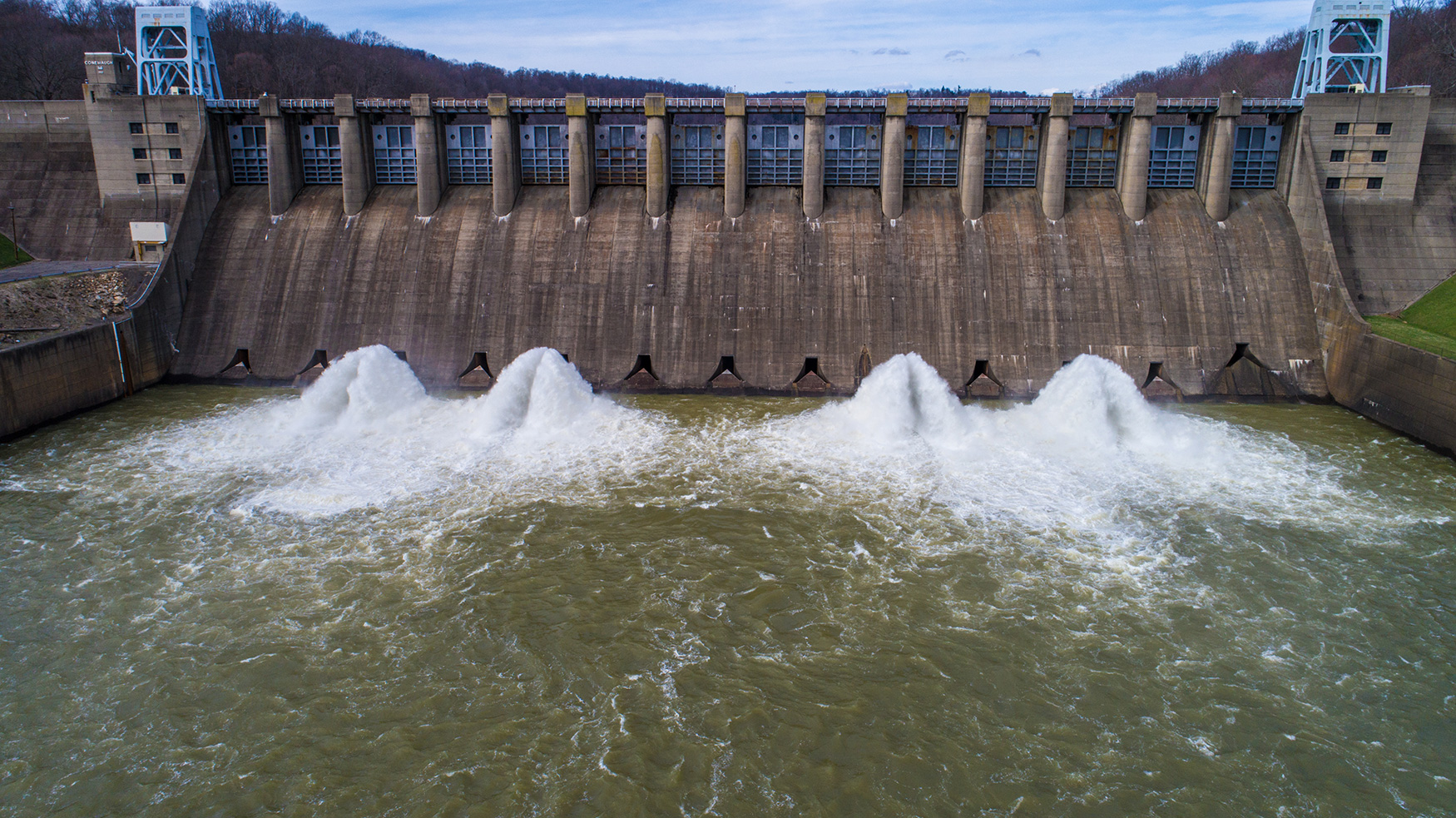

Infrastructure Industry
In 2017, the American Society of Civil Engineers gave U.S. infrastructure a dismal grade: D+.
By integrating drones into the construction and maintenance of our nation’s assets, Eye-bot Aerial Solutions helps engineering firms and government organizations produce better results.
Infrastructure asset management can be a costly and time consuming process. With drones, efficient workflows avoid interrupting operations – while empowering you with accurate and actionable data.
Services include:
Asset Inspections
With precise, high-res photos, videos, and more, we offer unprecedented depth and scope of data – even on older assets. Easily develop documentation you need to make your maintenance better.
Roadway Mapping
Get a deeper understanding of roads, transport links, and how proposed work will affect them. It’s never been easier to develop your business case and demonstrate sound planning to stakeholders.
3D Modeling
We deliver 3D reality modeling accurate to less than an inch, plus complete CAD integration. Ultra-accurate models are delivered directly to you, capturing exact dimensions and geometry.
GIS Integration
Our technology integrates seamlessly with your enterprise GIS solution. Instantly export data to the GIS suite of your choice and start working with it – no pre-processing needed.
Aerial Surveys
Get a bird’s-eye view of your project site through CAD-enabled aerial surveys. We clarify site geography so you can easily plan transit routes, utilities, environmental factors, and more.
Records of Condition
Record of Site Conditions summarizing your property’s environmental situation can be developed in just days, making it easier than ever to launch brownfield asset redevelopment.
Real-Time 2D and 3D Mapping
Monitor progress in 2D and 3D at the touch of a button using project timelines. Full dimensional mapping of all project sites facilitates better planning and more efficient project completion.
Emergency Imaging and Mapping Services
Eye-bot is prepared to assist in emergencies including critical infrastructure failures and natural disasters. Our data helps ensure an emergency intervention is safer, faster, and more successful.
Streamline your project planning with our experienced drone team. We bring you the unique benefits of drone technology without the hassle. There’s never any equipment to buy or lease – we do it all. Contact us to learn more.
3D MODEL – INFRASTRUCTURE
PHOTO GALLERY – INFRASTRUCTURE
")
")
")
")
")
")
")
")


WE HAVE FULLY INSURED
REMOTE PILOT - FAA CERTIFIED