
Eye-Bot Data Collection
The data collection process used by Eye-bot Data Solutions is like nothing else on the market today. Our accurate, comprehensive, granular data will interface seamlessly with all of your asset management systems. That means your projects stay on time, under budget, and yield the results you expect.
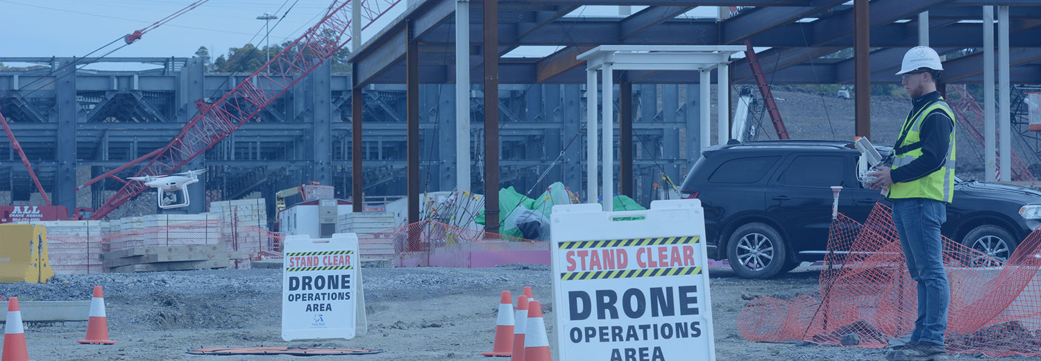
Our Data Collection Solutions Give You the Total View of Your Project
Every data collection project by the experts at Eye-bot starts by compiling a site-specific guide so our UAV pilots can capture every relevant fact about your project site. We translate your insights and feedback into the operating parameters we use to excel.
From there, our standardized data collection processes capture consistent, high quality results. Our data collection workflow has been extensively field tested across major industries, ensuring all mission critical information is made visible. That delivers a single source of truth for the entire project life-cycle.
Our methods include:
Reality Modeling
3D meshes provide precise real-world context for planning design, construction, and operations.
Aerial Imaging
Aerial imaging gives a true bird’s-eye view of a site suitable for tracking large-scale changes.
360-Degree Imaging
Our UAV technologies capture panoramic views composed of multiple high-resolution photos.
Thermal Imaging
Thermal imaging verifies systems are operating within temperature tolerance and locates faults.
Digital Elevation Models
Precise terrain elevation data can be used to plan earthworks or mitigate environmental impact.
Inspection Imaging
Complete imaging of inspection activities furnishes full documentation of compliance activities.
Live Stream Video
Real-time encrypted video streaming facilitates visual inspection of assets from anywhere in the world.
Confined Space Inspections
Our team is certified in confined space inspections to protect your hard to reach industrial assets.
1080p and up to 6k Video
Highest-resolution video never misses a detail, right down to the serial number on individual parts.
2D Orthomosaics and Mapping
End to end 2D mapping keeps projects on track and stops mistakes before they happen and allows for PDF drawing overlay and plotting
Ground-Based Photography
Ground-based photogrammetry supplements aerial imaging to capture assets from all angles.
To find out more, contact Eye-bot Data Solutions today.


WE HAVE FULLY INSURED
REMOTE PILOT - FAA CERTIFIED